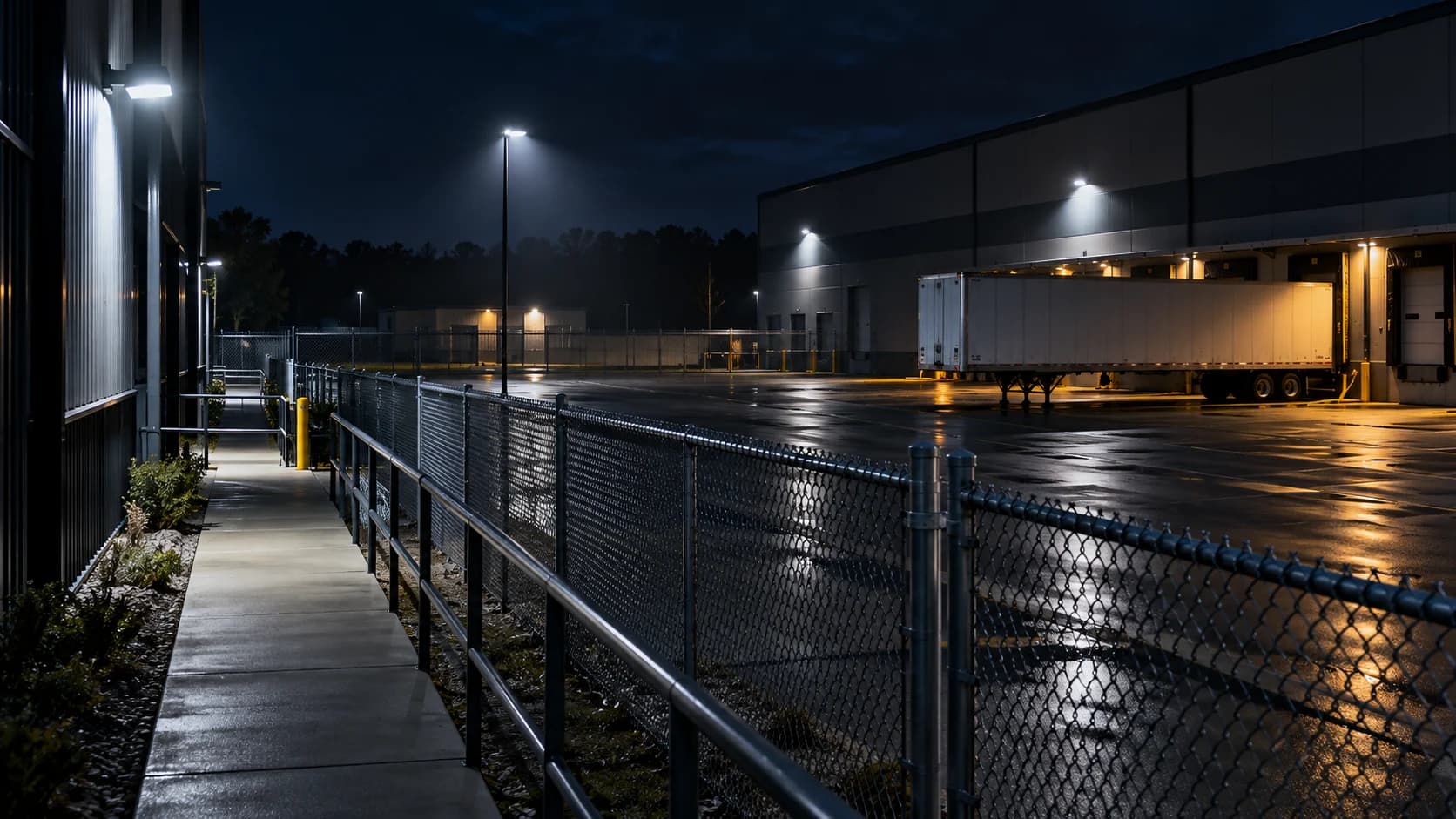
A viewing cone on a drawing can cover a route that the actual camera cannot see. Walk the route before deciding that the shaded areas overlap usefully.
The idea in view · Planning diagram
Visible area and useful coverage are different
- Actual route
- Permanent barrier
- Temporary obstruction
- Useful detail
- Accepted view
- Unresolved gap
Map tasks rather than cones
Start with gates, doors, boundaries and vulnerable assets. For each route, identify the view expected to show movement. Confirm it with an authorized walkthrough; drawing a wide viewing angle over the map can conceal shelves, walls or parked vehicles.
Review changing obstructions
Check loaded and empty conditions, open gates, seasonal vegetation and temporary stock. A camera that covered a lane during installation may lose it when a trailer is parked. Name a site owner who can report these changes.
Choose a proportionate remedy
Consider moving obstructions or changing a view before adding hardware. Respect areas that should remain outside surveillance. Record a residual gap explicitly and decide whether another security measure or a scope exclusion is needed.
Keep coverage tied to a purpose
A gate view may need to show that someone enters; another view may need to support a particular level of detail. Write the purpose before deciding a gap is solved. GOV.UK’s police CCTV guidance starts with what the system needs to show and where. More pixels or another wide view do not automatically answer that operational question.
Review the map under the site’s normal changing conditions. Mark where open doors, loaded bays, vegetation or scaffolding alter visibility. Give recurring changes an operating owner, such as the person arranging trailer parking. Where a gap cannot be removed, record the residual limit and decide whether another physical or procedural measure is needed.
Map routes and obstructions, not just camera cones
Begin with the places activity can travel: entrances, pedestrian approaches, vehicle lanes, service doors and routes into restricted areas. Then mark where the installed views actually show those routes. A viewing cone drawn from a product specification may suggest geometric coverage without showing what a fence, trailer, wall or stored material hides in practice.
Walk the area with authorized access and compare the plan with the displayed views. Use stable camera aliases and mark the observation date. Distinguish a permanent blind spot from an obstruction that appears during normal operations. Both matter, but they may need different decisions. A wall may require a different view; a parked trailer may require a site-layout rule or a second approach to the task.
Separate seeing an area from seeing useful detail
A route can appear within the image while the subject is too small, too dark or too blurred for the intended decision. Note the task the view supports rather than shading every visible pixel as covered. Presence, direction of travel and identification are different requirements. Avoid assigning a level of detail that has not been tested under relevant conditions.
The map should also show which views are accepted into monitoring. A local recording camera is not automatically part of the remote service. If an unmonitored approach leads into a covered area, make that relationship explicit. The business can then decide whether the gap is acceptable, needs a physical control or requires a change in the camera and monitoring scope. The map informs that decision; it does not guarantee the whole site is observed.
Reference context: ProtectUK: CCTV operational checklist (2022)
Record responsibility for keeping the map true
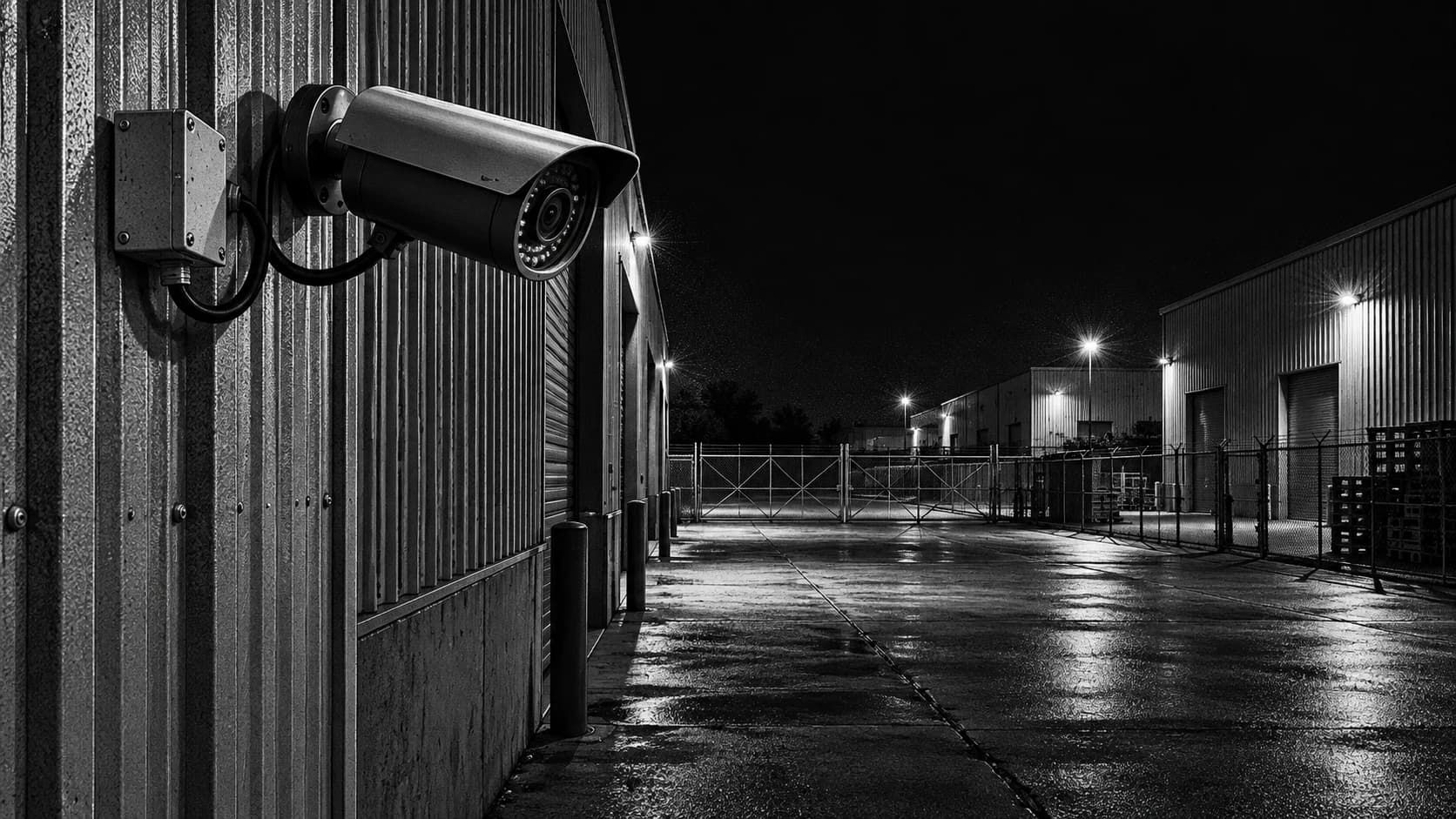
Name who notices and reports layout changes. Yard staff may see a new storage stack before the camera administrator does. Construction teams may move hoarding while the monitoring provider continues receiving a healthy stream. Provide a simple route for reporting the changed obstruction and a person who can decide whether the accepted duty is affected.
Update the map after material changes and retain the prior version where it helps interpret an earlier incident. Link a required correction to a work order and a retest. Avoid distributing a detailed security layout more widely than necessary. A planning copy can use aliases and simplified areas, while the controlled version holds the operational detail needed by authorized people.
A fictional map that changes a parking instruction
A depot's plan shows two cameras covering a side approach. On a normal evening, a trailer parked in the waiting area blocks the first view and a storage cage blocks the second. The geometric cones overlap, but the route is not usefully visible. Adding the two shaded cones together would overstate coverage.
The team records the normal obstruction positions and tests the route with the trailer present. It may choose to change the waiting position, assess a different camera location or explicitly exclude the route until work is complete. Each choice has an operational consequence that should appear in the scope. The revised map shows observed coverage and the condition on which it depends, rather than preserving an attractive drawing that no longer describes the site.
Make the call
What kind of gap are you looking at?
| Situation | Decision to make | What to ask for |
|---|---|---|
| A trailer blocks an approach | Whether the obstruction is temporary or routine | A layout change or another accepted view |
| Two views cover the same front face | Whether either sees the rear route | An authorized walkthrough behind the obstruction |
| A private area is excluded deliberately | How the remaining task is handled | A documented boundary and alternative measure |
Before you move on
- Mark important access routes and assets.
- Walk the routes under representative conditions.
- Assign a remedy or accepted exclusion to each gap.
A worksheet you can actually use
Start with the blank sheet. Add one row per item, assign an owner and mark anything unresolved as pending. The completed example shows the level of detail to aim for.
Keep completed security plans private. Use aliases; keep passwords, access codes, personal contacts and footage links in your approved systems.
How to fill the worksheet
- Route
- Name the actual approach or movement path the business needs supported, rather than shading the entire property as one task.
- Expected view
- Identify the candidate view and its accepted duty; an unmonitored recording camera should remain distinguishable.
- Obstruction
- Describe what hides the route, distinguishing a permanent structure from normal or temporary operational obstructions.
- Condition
- Record when the gap appears, including parking, lighting or work-phase conditions needed to reproduce the observation.
- Remedy owner
- Assign the role that can change layout, equipment or operating scope rather than asking the reviewer to compensate for missing visibility.
- Accepted status
- State the current reliance decision and evidence, keeping unresolved coverage separate from an attractive drawing of viewing cones.
A worked example
Fictional yard: two cameras both show the front of a stack, but neither sees the narrow path behind it. The map records one route gap despite overlapping camera fields on paper.
| Route | Expected view | Obstruction | Condition | Remedy owner | Accepted status |
|---|---|---|---|---|---|
| Rear stack path | YARD-02 | Stored materials | Loaded yard | Site manager | Open gap |
Questions readers bring to this task
What else should you know?
Do we need a new camera for every gap?
No. Moving stock, adjusting an approved angle or revising an operating route may be enough. Have the authorized installer and site owner assess the remedy, then test it. A new camera is useful only if its view and associated duty address the missing task.
Link to this answer ↗Does overlapping camera coverage remove every blind spot?
No. Two cameras can share the same obstruction or both lack useful detail on the same route. Check the installed views with normal site conditions present. Overlap can support a task, but its value needs observation rather than inference from a drawing alone.
Link to this answer ↗How often should the map be checked?
Use the review interval agreed for the site and check after meaningful layout, camera, lighting or use changes. A changing construction site may need a different rhythm from a stable building. An observed new obstruction should trigger review without waiting for the next scheduled meeting.
Link to this answer ↗Notes & sources
The worksheet is not a site security survey or a promise that every route can be monitored.
Reviewed October 27, 2026. The examples and worksheets are planning aids, not customer results or a statement of contracted service.
- ProtectUK: CCTV operational checklist (2022)
Operational prompts on purpose, coverage, lighting and review. Its historical legal references are not used as current law.
- GOV.UK: police requirements for CCTV systems
Purpose, quality, storage, export and playback considerations; not a promise of police response.